On this page
“Sinkhole Alley” shows up in every news story about a collapse in this part of the state, and almost nobody defines it. It isn’t a geological term, it isn’t drawn on any state map, and no agency publishes its boundaries. It started as insurance-industry shorthand for the counties generating the most sinkhole claims, and it stuck. That doesn’t make it useless — the claims really do cluster — but it does mean the label answers a different question than the one homeowners are actually asking. What matters for your property isn’t which county line you’re inside. It’s what’s under your lot, and how deep it is.
What Sinkhole Alley Actually Refers To
The name is usually applied to the Tampa–Ocala corridor along the west-central peninsula. Hernando, Pasco, and Hillsborough counties form the core of it in most descriptions, with Citrus, Sumter, and Marion counties on the northern end. If you live anywhere in that band, you’ve heard it.
Two honest caveats about the underlying claim data, because they change how much weight the label deserves:
- It counts reports, not sinkholes. The Florida Geological Survey maintains a subsidence incident database, but entries are self-reported — someone has to notice a hole, care enough to report it, and know where to report it. Rural, undeveloped, and forested land is systematically underrepresented. A dense subdivision generates far more reports per square mile than a cattle pasture with identical geology.
- Insurance claims track houses, not karst. Counties with more homes, older homes, and more aggressive claims activity produce more claims. That is a real cost signal for insurers. It is a weak proxy for how likely the ground under any particular parcel is to move.
So treat “Sinkhole Alley” the way you’d treat a flood-zone nickname: useful for understanding why your insurance quote looks the way it does, close to worthless for deciding whether your lot needs a look.
County by County: What’s Actually Underneath
Here’s the geology that drives the differences across the four counties we work in most, and what it tends to mean at the surface. These are general patterns, not lot-level predictions — overburden thickness can change substantially within a single subdivision.
| County | Typical setting | What tends to show up |
|---|---|---|
| Citrus | Limestone at or near the surface over much of the county; little to no clay confining layer | Numerous small, shallow solution features and depressions. Voids are close enough to reach that problems tend to announce themselves early rather than accumulate unseen. |
| Hernando | The classic Sinkhole Alley profile — moderate sandy and clayey cover over shallow limestone | Both gradual settlement and the abrupt collapses that make the news. Cover thick enough to hide a growing cavity, thin enough for it to reach the surface. |
| Marion | Ocala Limestone under sand, with the clay-rich Hawthorn Group thickening toward the east side of the county | Highly variable. Western and central Marion behave like the karst belt; eastern Marion’s thicker confining clays make surface expression less common. |
| Sumter | Mixed cover thickness, with a lot of newer construction on graded and filled ground | A meaningful share of reported “sinkholes” turn out to be fill settlement, buried organics, or construction debris breaking down — not karst at all. |
That last row is worth sitting with, because it applies everywhere in the region. Plenty of the distress we’re called out to look at in Sumter County and around The Villages has nothing to do with limestone. It’s a slab sitting on poorly compacted fill, or a plumbing leak washing sand out from under a footing. The symptoms are identical. The fix, the cost, and the insurance treatment are not.
The Real Variable: How Thick the Cover Is
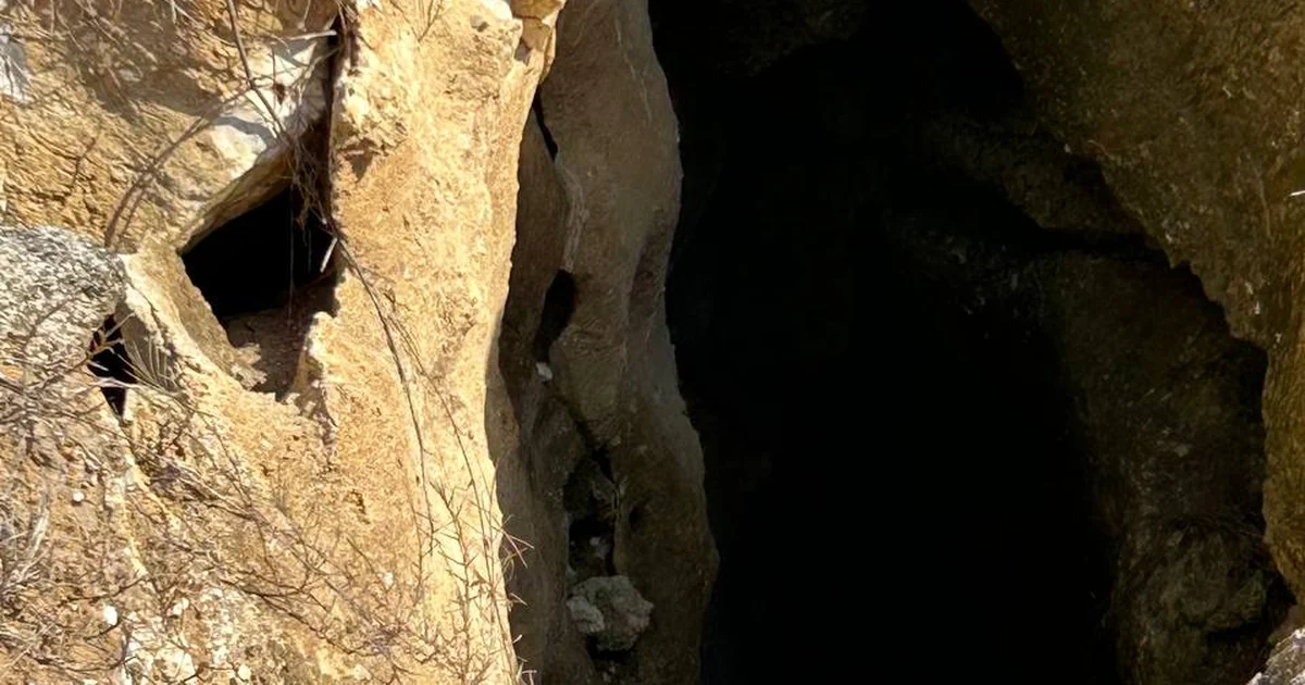
All of Florida sits on carbonate rock. Rain is mildly acidic, and over geologic time it dissolves limestone into voids and channels — karst. That’s true statewide. What decides whether karst under your lot ever becomes your problem is the material sitting on top of it, and how much of it there is.
Three patterns cover almost everything we see:
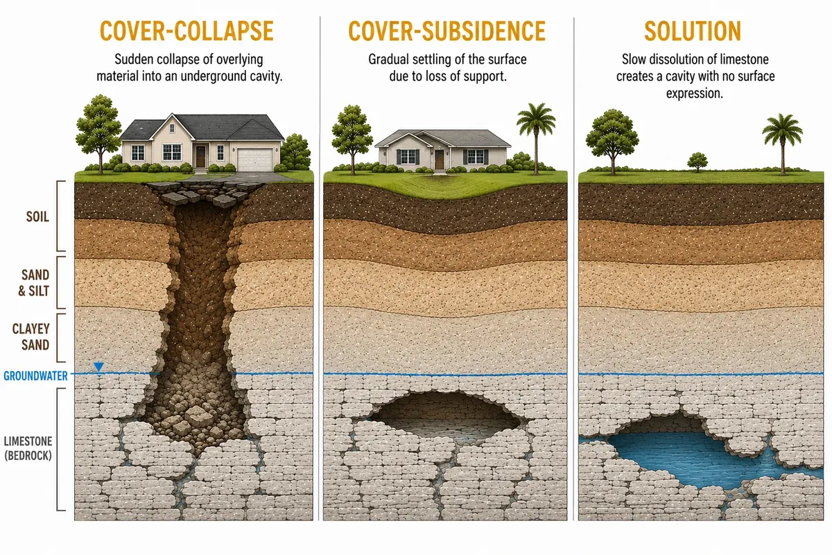
- Bare or thin cover — dissolution features. Where limestone is at or near the surface, dissolution happens at the top of the rock and shows up as small depressions that form slowly. Common in Citrus County. Usually a nuisance rather than a structural emergency.
- Thick, sandy cover — cover-subsidence. Sand trickles down into voids in the rock below, a process called raveling, and the surface settles gradually into a broad shallow bowl over years. This is the common kind. It damages structures by slow differential settlement, not by opening up.
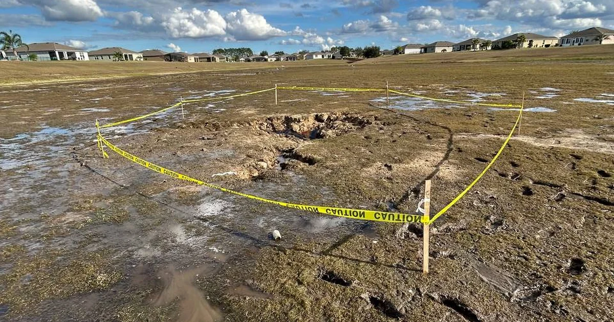
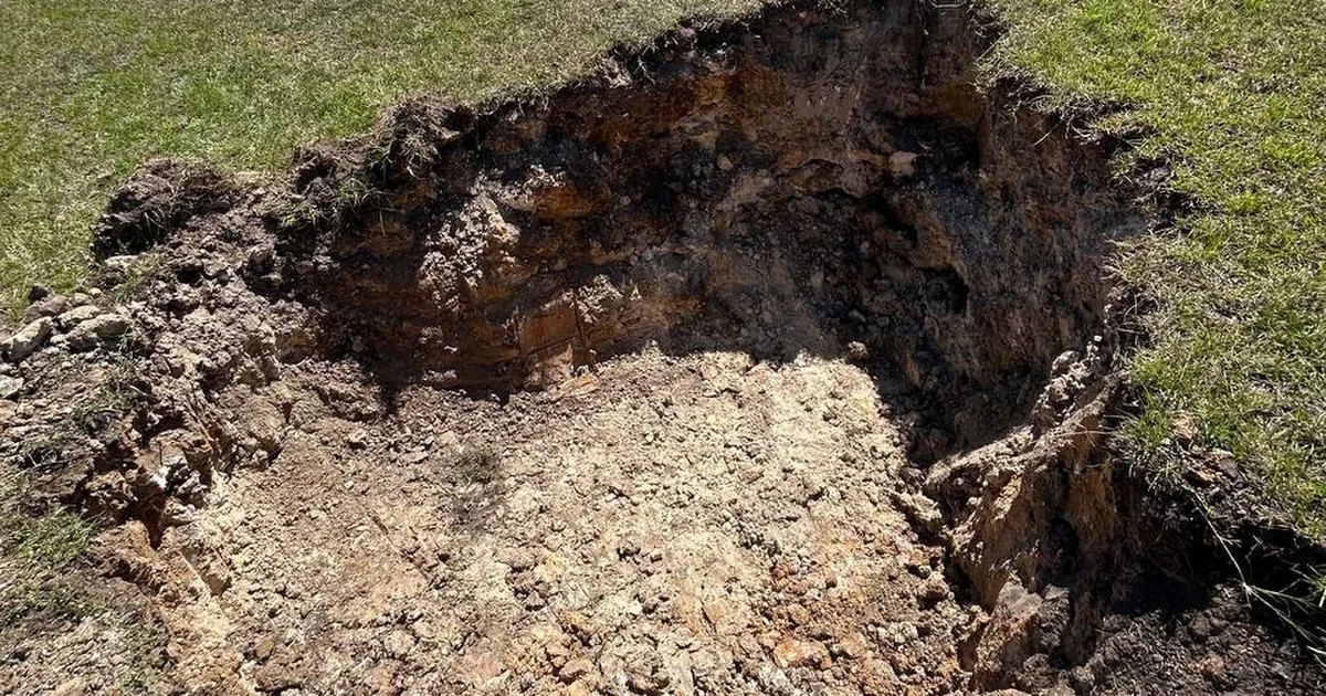
- Moderate cover with a cohesive clay layer — cover-collapse. The clay is strong enough to bridge over a cavity while sand keeps raveling out from beneath it. Nothing shows at the surface, sometimes for decades. Then the bridge fails, and a hole opens in hours. This is the dramatic kind, and it is by far the rarest.
Notice that the most alarming failure mode requires a fairly specific recipe: a cavity in the rock, a clay layer above it that can span, and enough cover to hide the process. That combination is more common in the Hernando–Pasco band than in most of the state, which is the legitimate kernel of truth inside the Sinkhole Alley nickname. It is also why cover-collapse events remain rare even there.
What Sets Them Off
Cavities take thousands of years to form. The trigger that finally moves soil into one is usually recent, and usually involves water:
- Heavy rain after a dry stretch. The classic trigger. Drought lowers the water table and removes buoyant support inside the soil column; a heavy rain then adds weight and drives infiltration through the same profile. Florida’s reported sinkhole activity clusters in exactly these swings.
- Groundwater withdrawal. Large, sustained pumping lowers the water table over an area. The best-documented Florida example is agricultural freeze-protection irrigation in the Tampa Bay region, where days of heavy pumping during a hard freeze have been followed by clusters of new sinkholes in the same area.
- Construction dewatering and drainage changes. A dewatered excavation, a new retention pond, a re-graded lot that funnels roof and driveway runoff into one corner — all of it concentrates water where it didn’t used to go.
- Broken water and sewer lines. Boring but extremely common, and the reason a leak test is often the cheapest first move before anyone brings a drill rig.
If You’re Buying, Building, or Insuring Here
The practical questions are different depending on why you’re asking.
Buying an existing home
A standard home inspection is not a subsurface investigation, and neither is a visual walk-through by a repair contractor. Ask for the property’s claim and repair history — Florida requires disclosure of known sinkhole claims and whether a prior claim was paid — and look for the signs that actually matter. We covered which distress patterns deserve attention and which are ordinary house behavior in our guide to sinkhole warning signs in Florida. If you’re shopping in the highest-activity part of the region, our page on sinkhole inspections in Citrus County covers what a pre-purchase look involves.
Building new
This is the cheapest possible moment to find out what’s down there. A routine subsurface exploration for a residential or light-commercial project is a small fraction of what a foundation redesign costs after the fact, and a rounding error against remediating a structure that’s already up. Standard Penetration Test borings across the building footprint tell you soil strength at every depth, and whether there’s anything weak sitting between your footings and the rock. If you're building around Ocala, that's the same work we do on every geotechnical engineering project in Marion County.
Insuring
Florida homeowners policies include catastrophic ground cover collapse by default, but the definition is narrow: abrupt collapse, visible depression, structural damage, and the home condemned or ordered vacated. Gradual settlement — the common kind — typically doesn’t meet it. Broader sinkhole loss coverage is usually a separate endorsement with its own deductible. We’re engineers, not adjusters, so read your policy and ask your agent which one you carry. The time to find out is not after the slab cracks.
How We Tell Karst From Everything Else
A real sinkhole investigation is a screen followed by a confirmation, and the distinction matters because the screen alone gets oversold constantly.
The screen is ground-penetrating radar. An antenna is pulled across the property, radar pulses go into the soil, and the reflections show where the profile is disturbed or anomalous. GPR is excellent at deciding where to look harder. It cannot confirm a sinkhole by itself, and its useful depth drops sharply in wet or clay-rich soils. Anyone selling GPR as a definitive answer is overselling it. We spelled out the limits, county by county, in what GPR can and can’t find in Florida.
Confirmation comes from SPT borings at the anomalies the radar flagged. Why we confirm with a drill rig rather than a cone rig is explained in SPT borings vs. CPT for Florida sites. A drill rig advances a hole and drives a sampler with a standardized hammer, counting blows per increment — a direct measurement of soil strength at each depth. Very low blow counts deep in the profile, drilling fluid disappearing into the ground, and soil structure consistent with raveling are what actually confirms or rules out karst activity. Samples come back to our in-house laboratory, and the findings go out in a report signed and sealed by a Florida-licensed professional engineer. That stamp is what insurers, lenders, and repair contractors act on.
Get a Straight Answer
If something on your property has you watching a crack or a low spot — anywhere in the karst belt or outside it — get a straight answer from an engineer who has nothing to sell you but the answer. Call Florida Geotechnical Services in Ocala at (352) 619-9292 or request a free quote. We work statewide, and if it isn’t a sinkhole, we’ll tell you that too.